Anchoring in Mission Bay
Posted February 2025

Mission Bay
32°45.75N 117°14.86W
Mission Bay has one large cove that is open to overnight anchoring. You can anchor for up to 72 hrs in any 7 day period. Reservations are not required. The south end, Mariners Basin, has the most room. The north end is named Bonita Cove. The two areas are divided by a large mooring field of small boats.
Anchoring Tip: In the summer the anchorage is usually packed. Fortunately the bottom is a sticky heavy mud so you can anchor with a short scope most of the time. There isn’t enough room for 5:1 most of the time.
The view of fireworks fired from Sea World in the summer months are great.
Beach fires are only allowed in the city provided fire pits from 5am to Midnight.
You can land your dinghy on the beach during the day but may not leave it overnight.
Mariners Basin
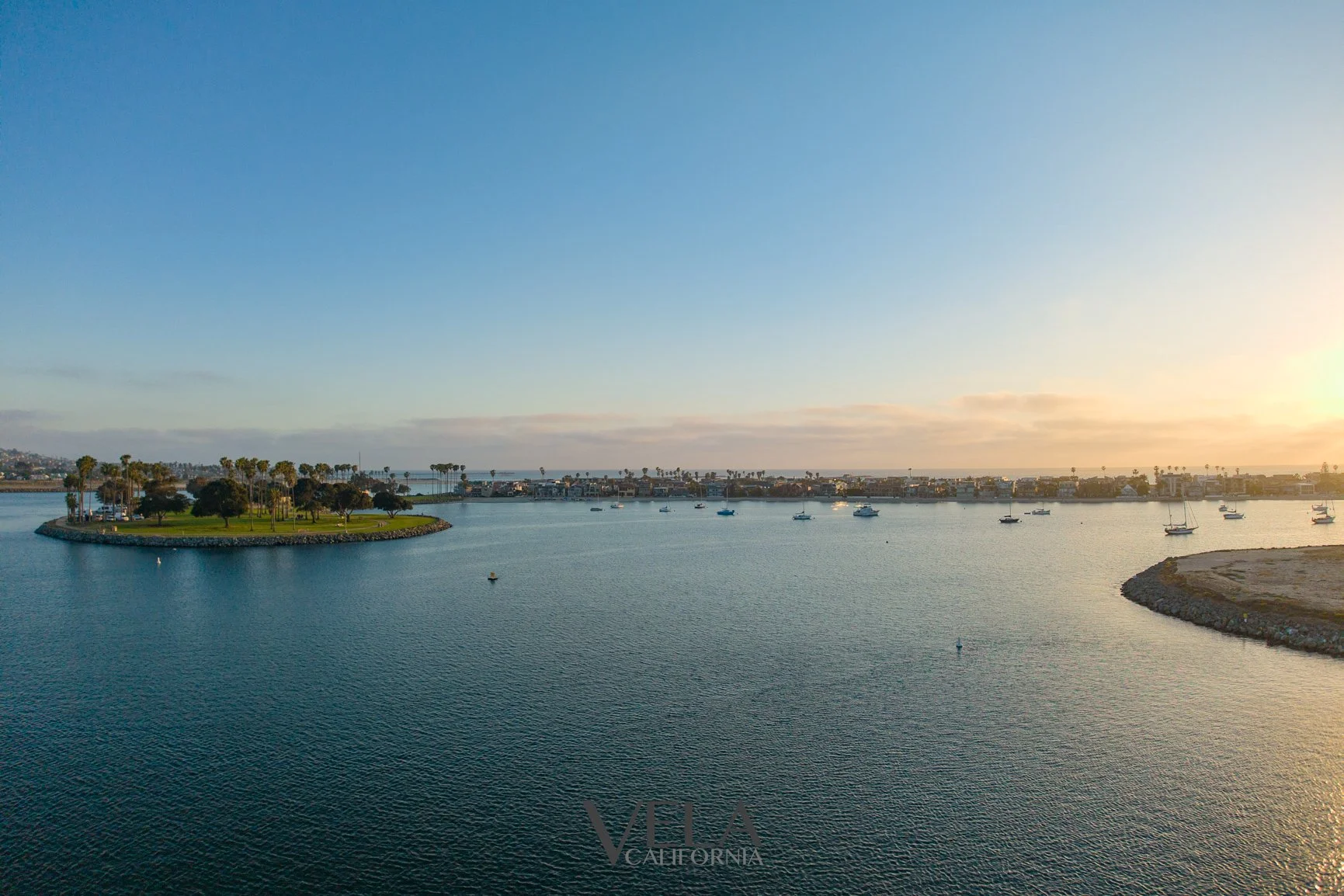
I prefer anchoring at this end of the basin. The beach is easy to land a dinghy and you can walk across the street and get on the board walk. You will probably be in 12-15’ of water at low tide.
Don’t go on the end of the large sandy peninsula from April 15 - September 15. It is a least tern nesting area and off limits.
Bonita Cove

If you head north through the moored boats from the basin entrance, you will get to Bonita Cove. I’d advise making your way up through the moored boats as there is shoaling on both sides of the mooring field.
The water on the very north end is roped off for swimmers.
When you are in Bonita Cove watch for shallow water on the east and west sides. At low tide the shoaling ares extends a significant distance into the cove. At low tide it is very shallow and muddy approaching the west side beach. You can land your dinghy here but there isn’t anything to lock it to. I have left my dinghy on the beach here for hours and never had an issue with anyone messing with it, but there are plenty of iffy looking individuals in the area. I prefer to leave my dinghy on the south end if I’m going ashore for a while.
Quivira Basin
Quivira Basin has pump out at the Lifeguard public dock to the south of the basin entrance. 32°45.67N 117°14.43W.
Bridge clearance at the Ventura Bridge is 42’ at mean lower tide.