Emerald Bay, Catalina Island
Posted July 2019 - Last Update January 2025
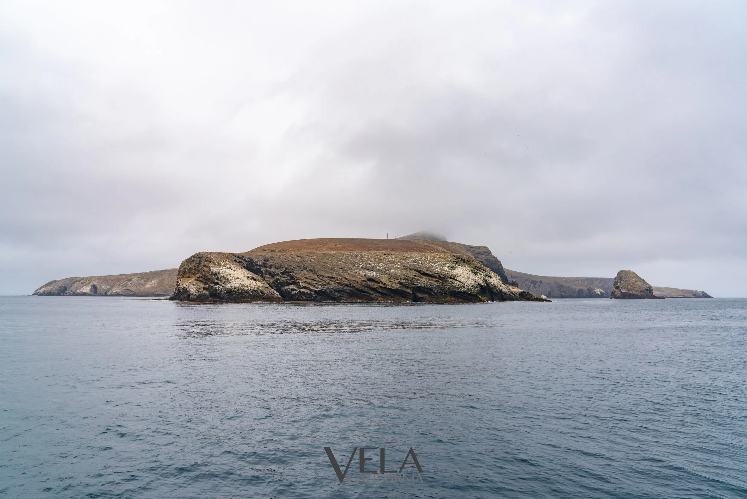
Emerald Bay is located on the west end of Catalina about 2.5 NM Northwest of the Isthmus side of Two Harbors. I like this spot on Catalina because it has a nice beach, hiking, and snorkeling. Emerald has over 100 moorings for rent but there is also a small area for a few boats to anchor on the SE side of Indian Rock. The only real downside of Emerald is that it is not very well protected from swell and it can get pretty rolly here. The typical swell comes from the NW and wraps around Arrow Point. There are a few moorings that are somewhat protected by Indian Rock that seem to do slightly better than the rest.
Two Harbors is the closest place for supplies and in the morning is generally a quick 2.5 NM ride on a dinghy with a large outboard.
Google Maps: Emerald Bay
33°28.04N 118°31.45W


Mooring
There are rocks on the NW side of Indian Rock that are not always obvious at high tide, so pay attention to your charts. Contact the Harbor Patrol on VHF 09 to pick up a mooring. There are pros and cons to all the spots, but overall the area is pretty small so it doesn’t matter where you end up. If you don’t have a dinghy the mooring you get will matter. Grab a mooring close to the beach if you are going to swim or paddle board ashore. There are a few moorings very close to Indian Rock and you can snorkel from the boat if you pick up one of those spots.
Here is some more info on anchoring and mooring from the Island Company: Mooring Sites
Anchoring
The area generally used for anchoring can hold a few boats on the SE side of Indian Rock. The Island Company says 5-10 boats can anchor here, but I think that is not the best idea since around 2020. The kelp on the SE side of Indian Rock has really grown in and there is only room for a few boats to anchor in 44-60 feet without getting in the weeds. To have any chance of sleeping at night you need to put out a stern anchor to hold the bow into the waves that typically come around the west end. Check the swell forecast though. I once had a super rolly night when an unusual swell showed up in the middle of the night from the SE. There is current that runs through the anchorage area the will have boats swinging differently once the wind dies down if everyone is on a single hook. Even similar keelboats will swing differently. This is a good place for everyone to use a stern anchor, but that isn’t going to happen so if you see more than a couple boats at anchor get a mooring so you can get a good night of sleep.The water is generally clear enough that you can see your anchor sitting in the sand bottom. Keep clear of the mooring chains that run out into the anchorage area.
Cell Signal
I’ve found the cell signal is reasonable with most carriers for voice/text/data. The signal is coming from Palos Verde so don’t expect it to be great.
Snorkeling
Indian Rock is a nice place to snorkel. You can anchor your dinghy in 20-30’ with a sand bottom on the south side and be right next to the rocks and kelp. You will also be protected from the afternoon swell.


The Beach
The beaches at Emerald Bay are split into 2 main sections divided by rocky shoreline. The Scout camp and Corsair Yacht Club share a beach. The main beach is nice sand on the west end and gravel on the rest. It is generally better to land a dinghy on the west end of the beach as it is usually a little flatter and more sandy. The dock at the Scout camp is not open for any other boaters. Use the beach landings if you want to go ashore.
Hiking
The Catalina Island Conservancy, who manages most of the island, asks hikers to get a free hiking permit. It is easy to do online and their is a decent 4G signal here. Bookmark this page and take a couple minutes to fill out the form.
https://catalinaconservancy.org/recreation/hiking/
There are quite a few little trails that go up into the hills, or you can take a more casual walk along the access road. I think its about 6-7 miles to get to Two Harbors.
Click this link if you want to download a pdf map from the conservancy: Hiking Map
Arrow Point Hike
The hike to the top of Arrow Point is one of our favorites. When you hit the access road head towards Parsons’ Landing. When you get to the point that you can see down the west end coastline there will be a little trail up the hill on your right. It is a little overgrown and there are cactus along the trail so watch your step. Overall it’s about 45 minutes and about 2 miles to get to a nice overlook. If you watch the sun dip below the horizon it will be pretty dark by the time you get back to your dinghy.
The trailhead up to the west coast service road starts in the middle of the beach. It is pretty easy to find. Look for the sign that points to the new trail, it’s pretty obvious. This little stretch is pretty steep and loose. This isn’t flip flop territory.
Beach Trailhead (DDM) 33° 27.950'N 118° 31.612'W
Road Trailhead (DDM) 33° 27.892'N 118° 31.618'W